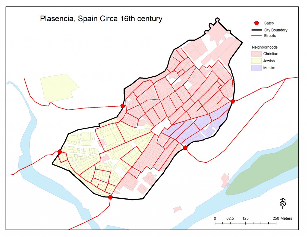
GIS Files – Map of Medieval/Early Modern Plasencia
[lab_heading title=”GIS Files – Map of Medieval/Early Modern Plasencia”]
[/lab_heading]
[/lab_heading]

[lab_scroll_box scroll_height=”750″ css=”.vc_custom_1447715256696{padding-top: 15px !important;padding-right: 15px !important;padding-bottom: 15px !important;padding-left: 25px !important;background-color: #f7f7f7 !important;}”]
RCCP is making many of its research products available for review and use by other scholars. You may download and use the following ArcGIS files that present a 2D geovisual map of the 15th century city of Plasencia, Spain. To learn more about using ArcGIS files, read more here: http://www.arcgis.com/features/. Please attribute any use of these files to the “Revealing Cooperation and Conflict Project, www.revealingcooperationandconflict.com.”
To access these files, you will need a File Transfer Protocol (FTP) client, such as the free one FileZilla (https://filezilla-project.org/).
Instructions for accessing the files are as follows:
- Launch your FTP client.
- Settings:
- Protocol: FTP
- Server: ftp.rogerlouismartinez.com//RCCP_VirtualPlasencia_Public
- User Name: u40542069-RCCP_Guest
- Password: virtualplasencia
- Connect to the remote FTP folder, “RCCP_VirtualPlasencia_Public,” using your FTP client.
- Browse for the folder, “Virtual Plasencia ArcGIS Files”, and open it.
- Open the “plasencia_GIS” folder.
- All files are should now be available for download.
[/lab_scroll_box]